May 28, 2021 - Day Nine, Flight One, Part Two
Flight to Smiley Creek, Idaho
|
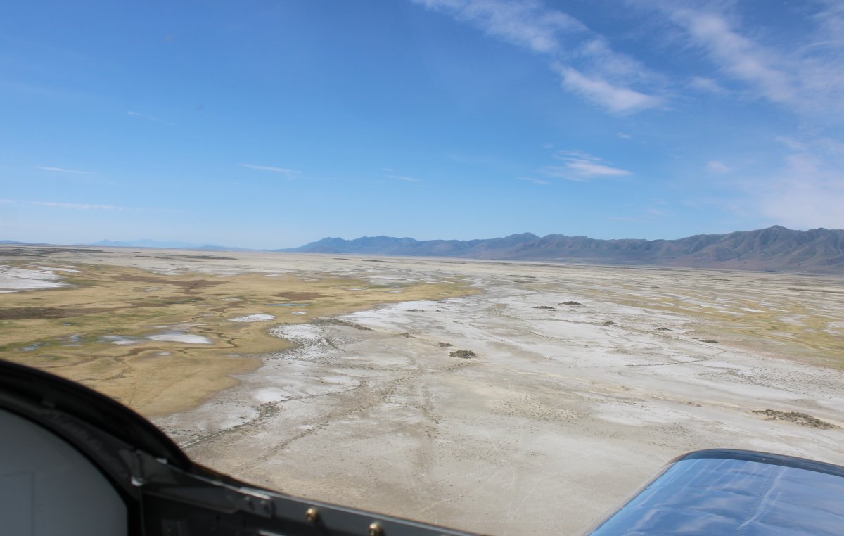
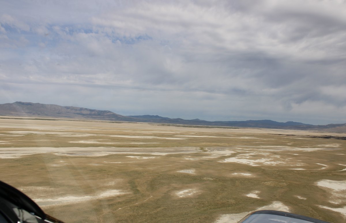
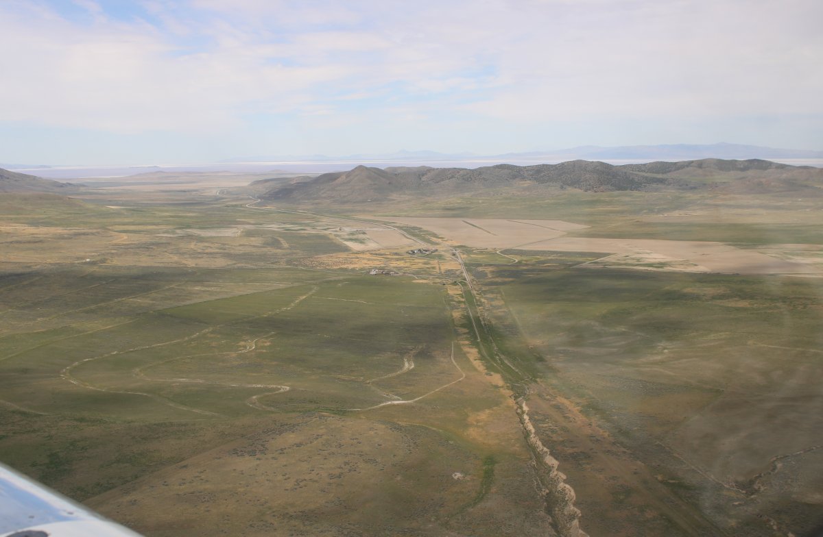
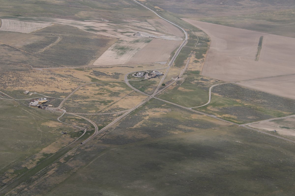
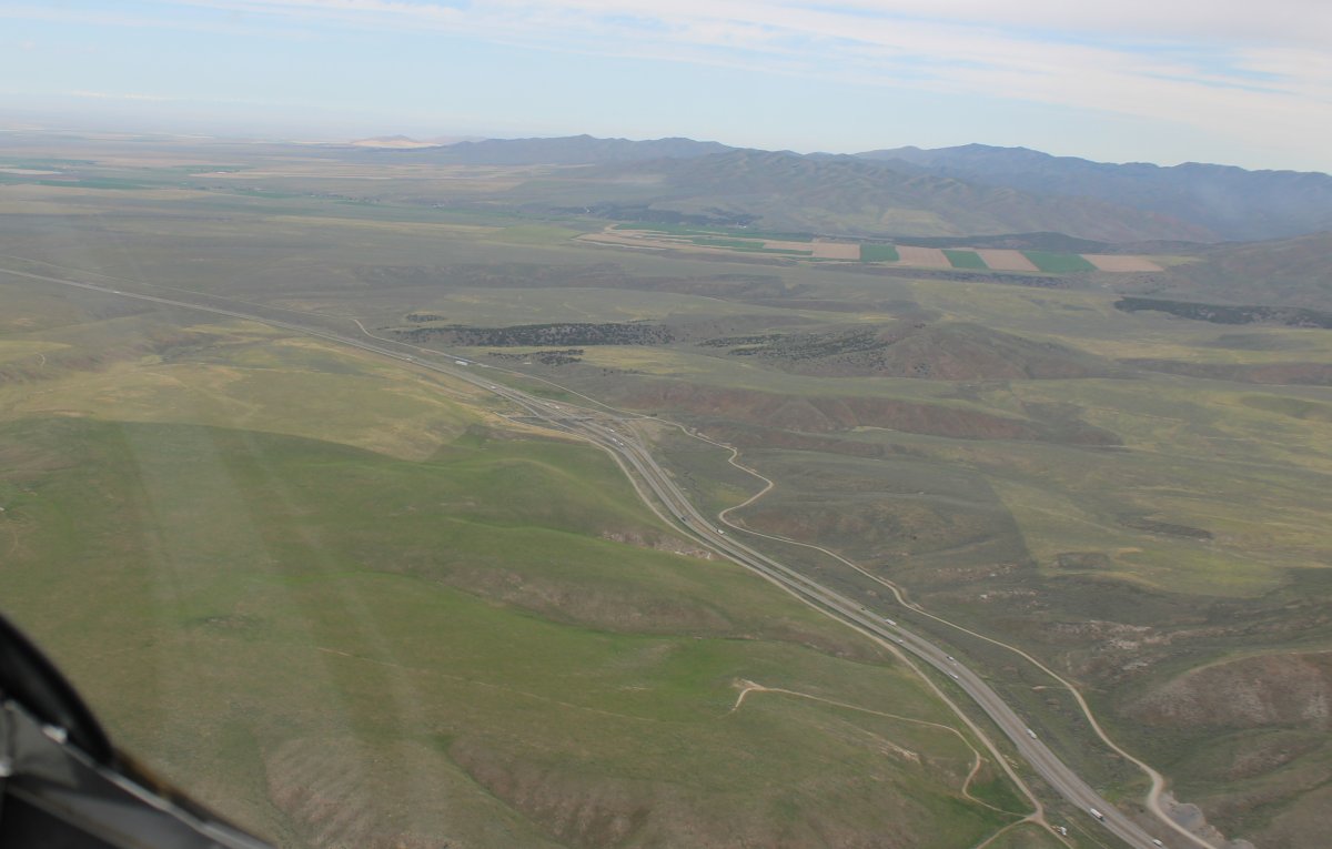
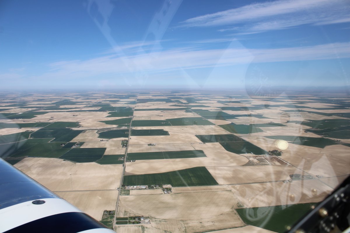
| The area to the southeast of Promentory Summit looked interesting so I headed over there. |
| |
 |
|
|
|
| |
 |
|
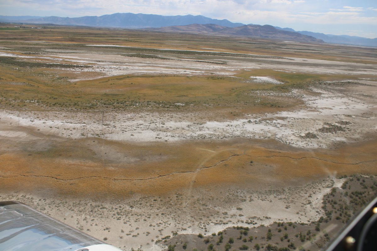
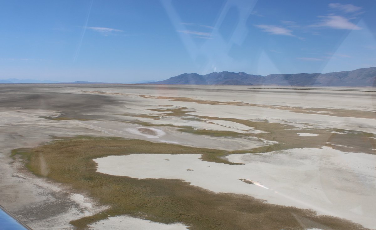
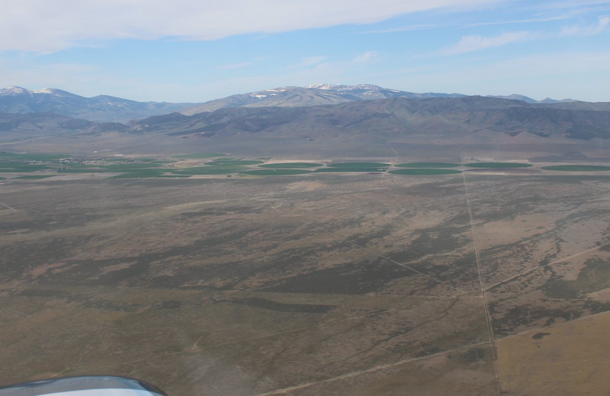
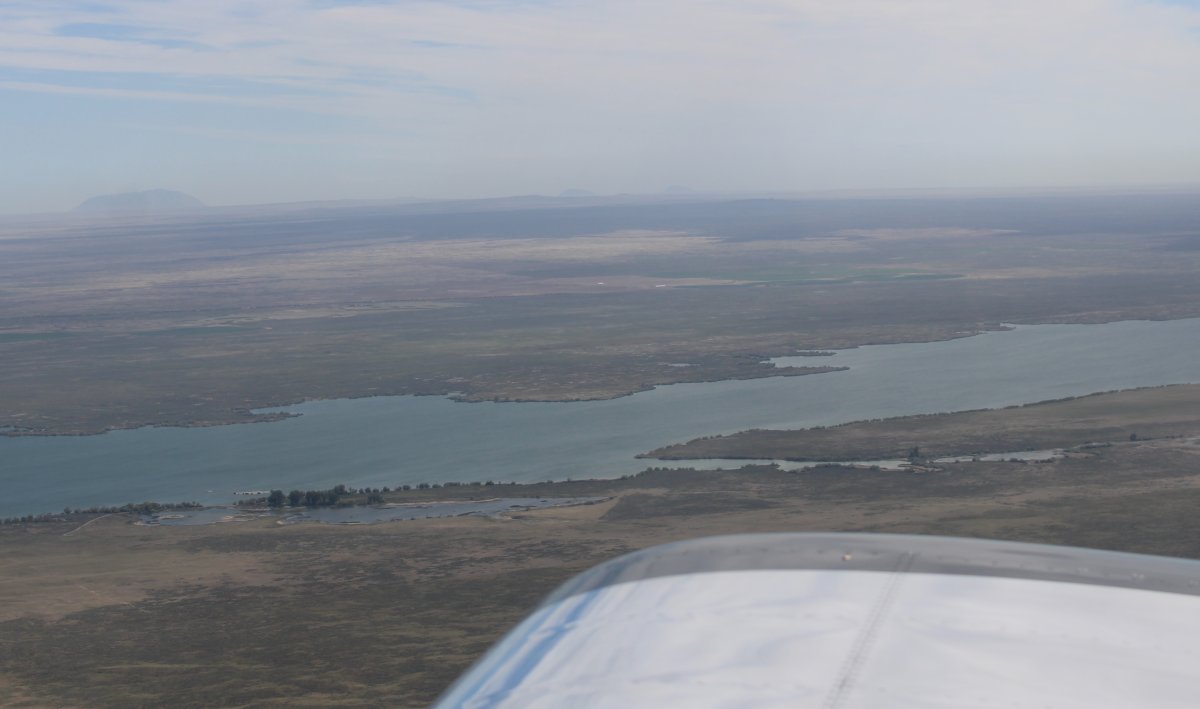
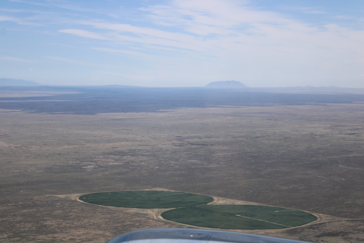
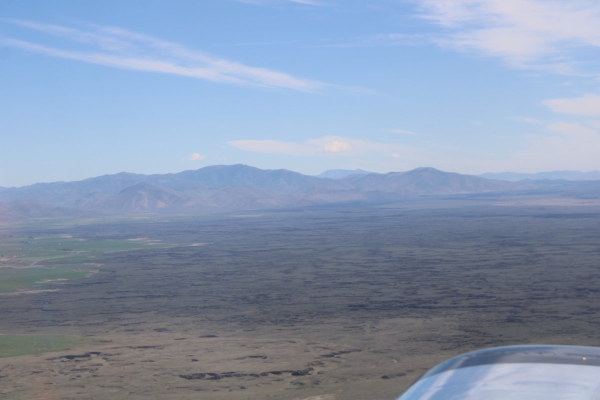
| I don't even know what to call this kind of terrain: a combination marsh, salt flats, sand and grassland? |
| |
 |
|
|
|
| |
 |
|
| |
| |
 |
|
| |
| |
 |
|
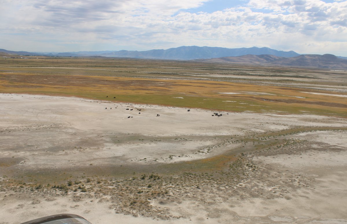
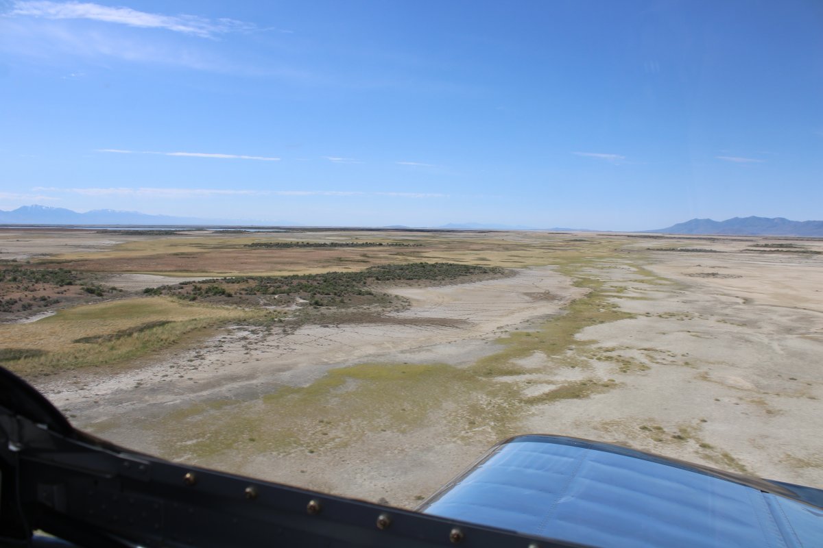
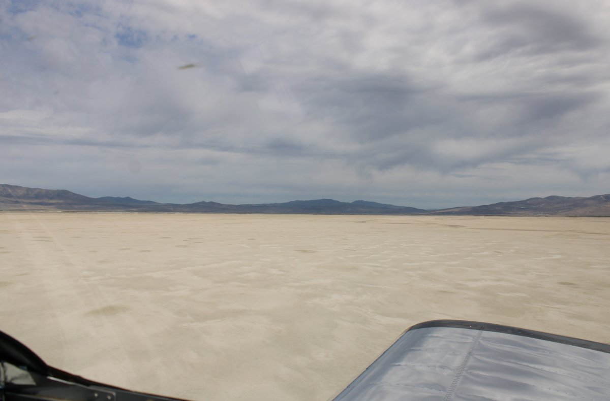
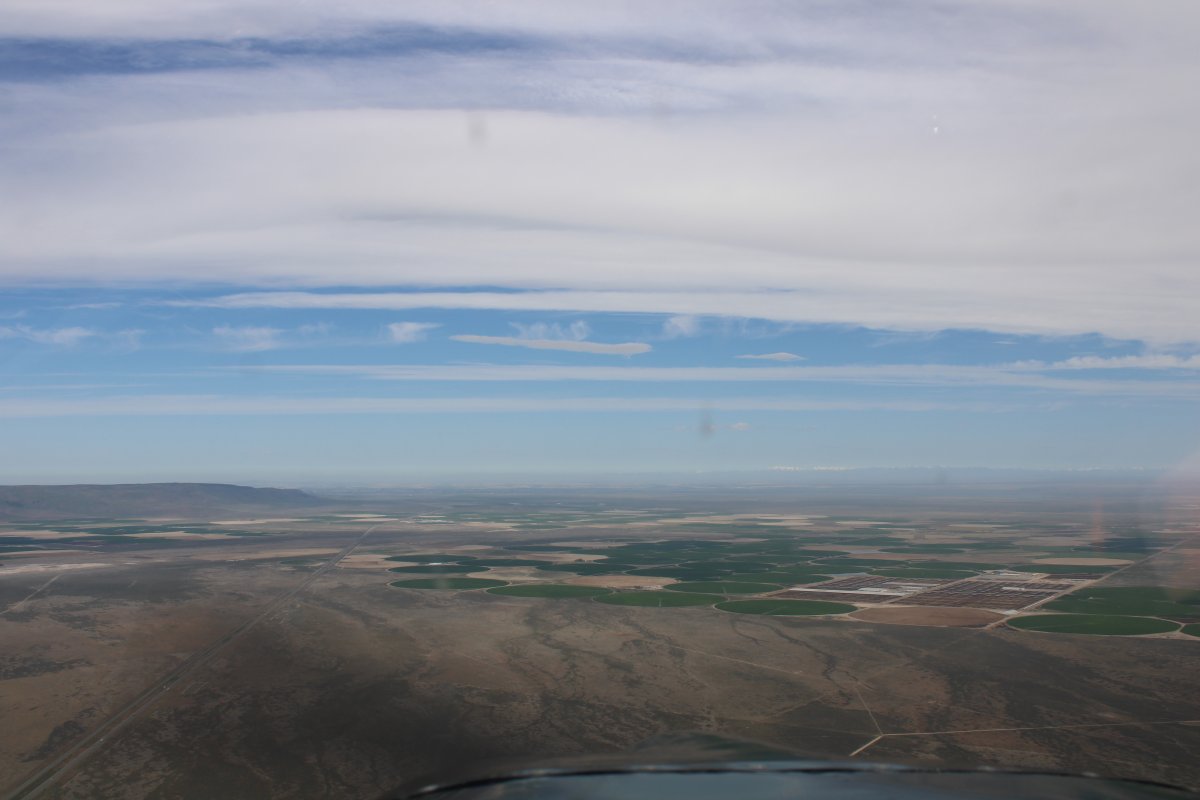
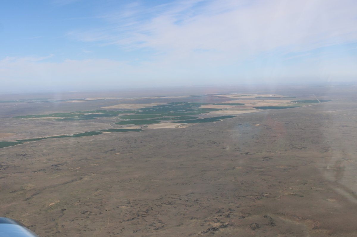
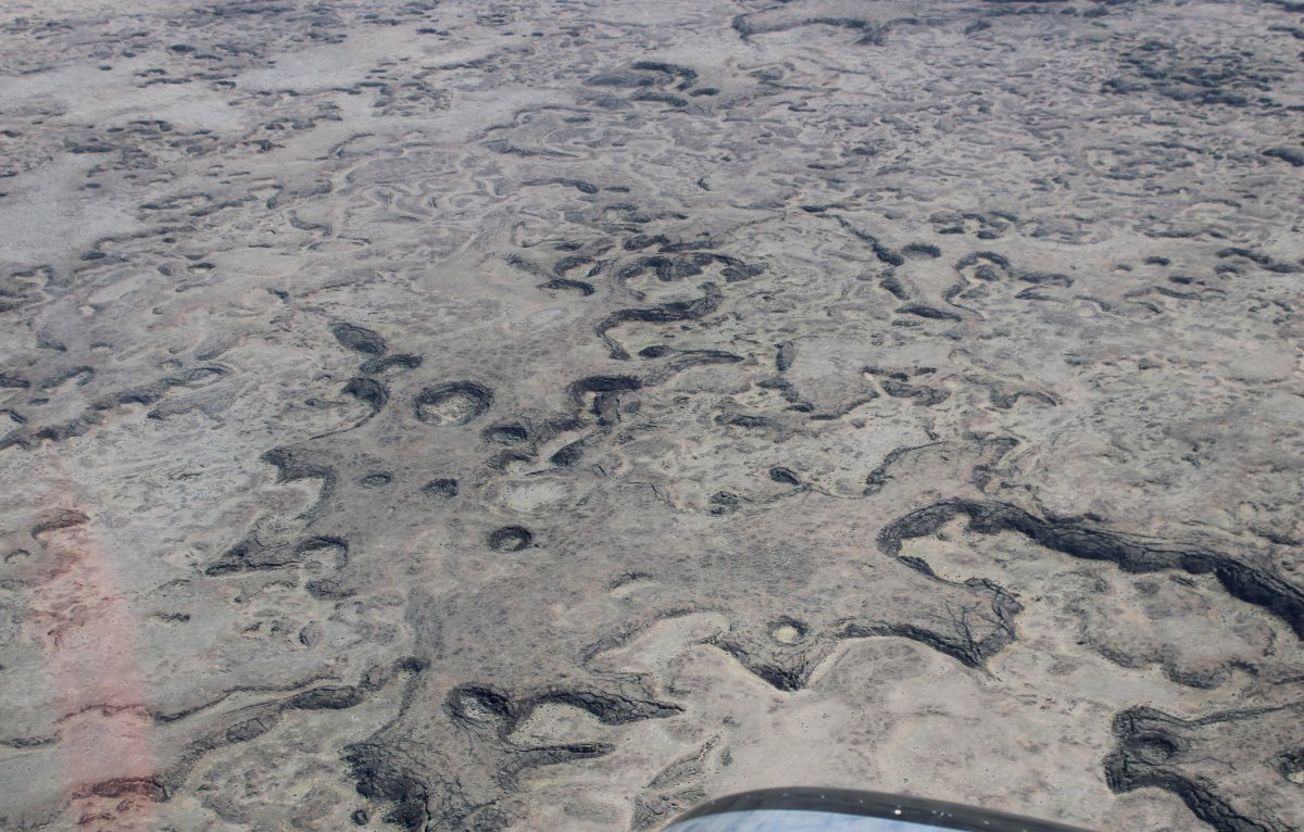
| Skimming low over salt flats again. |
| |
 |
|
|
But then it was time to make some tracks. I powered up, started climbing and turned northwest.
|
| |
 |
|
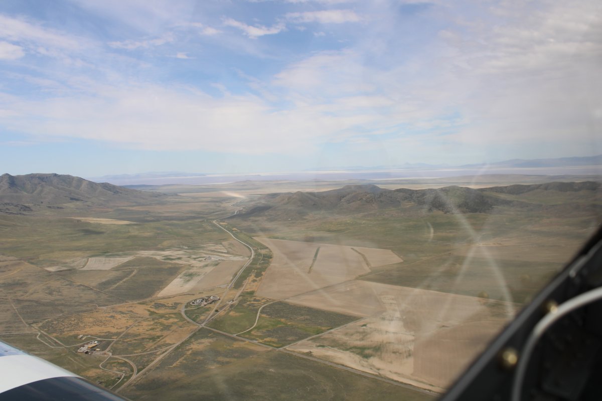
| A good look at Promentory Summit from higher altitude. |
| |
 |
|
| One last look at the Golden Spike National Historic Site. |
| |
 |
|
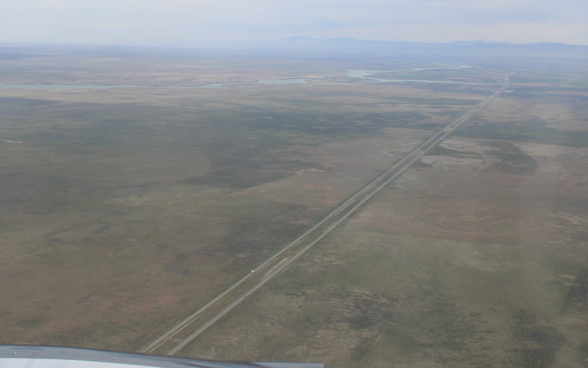
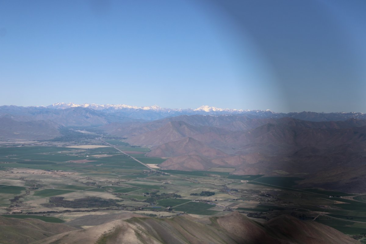
| Following Interestate 84 northwest to Idaho. |
| |
 |
|
|
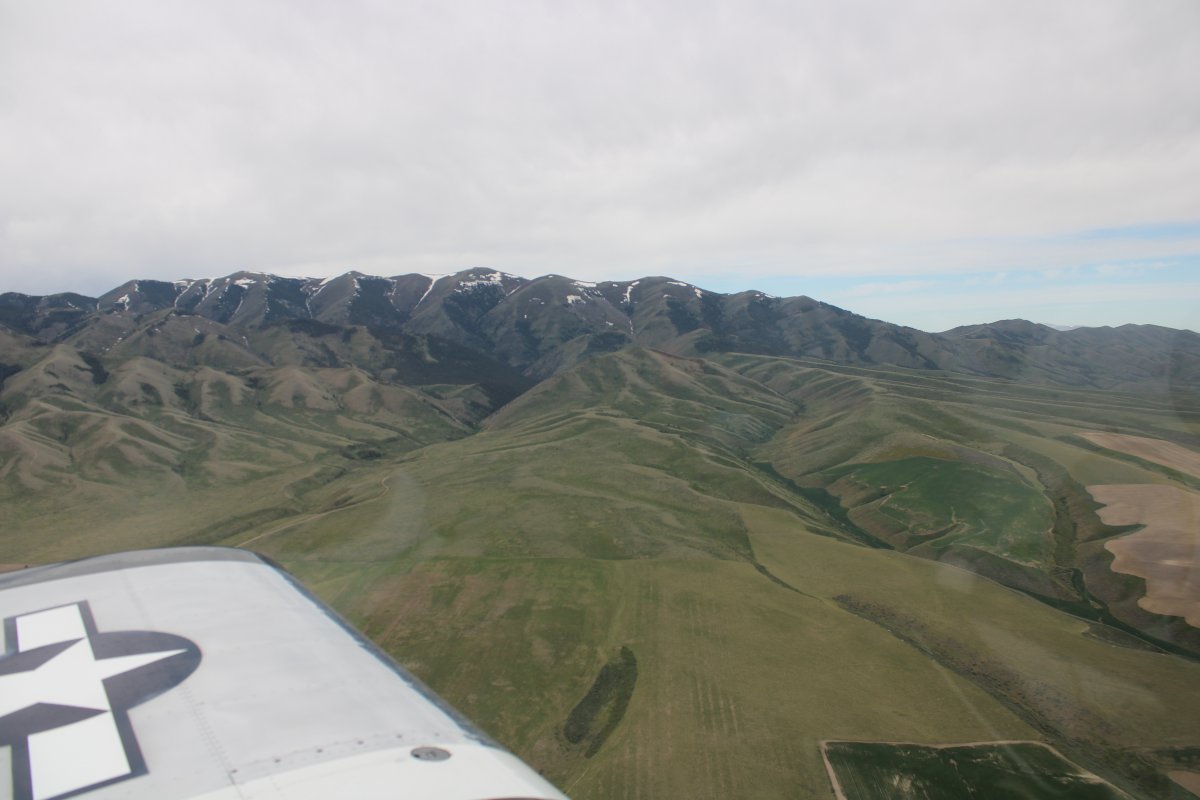
Passing by Black Pine Peak, elevation 9,386 feet.
|
| |
 |
|
| I am now in southern Idaho. |
| |
 |
|
|
Looking west at Cache Peak in the distance.
|
| |
 |
|
| The Snake River valley opens up before me. |
| |
 |
|
| The Snake River comes into view off my right wing. |
| |
 |
|
| Looking east at Interstate 86 coming from Pocatello. |
| |
 |
|
|
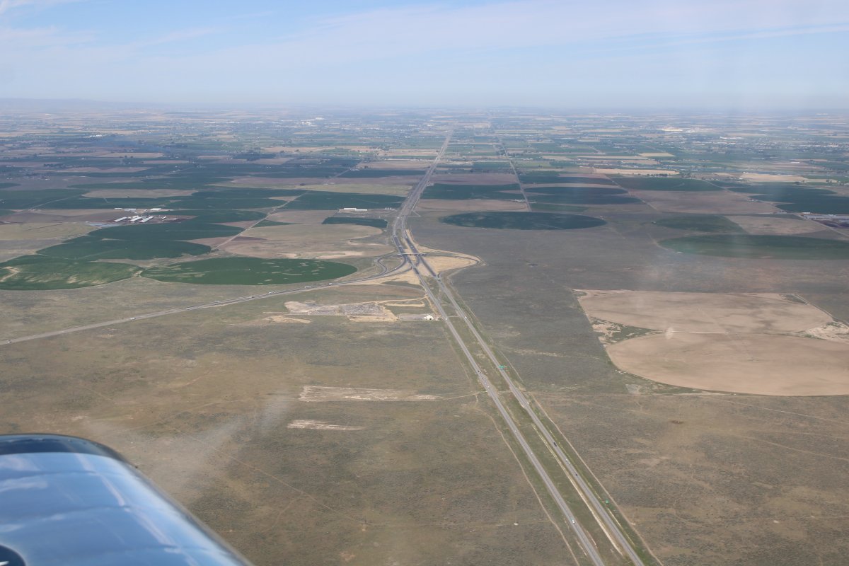
Interstate 84 coming from the south (left) merges into Interstate 86 heading west towards Twin Falls and then Boise.
|
| |
 |
|
| Looking down at Lake Walcott which is really the Snake River damned up. |
| |
 |
|
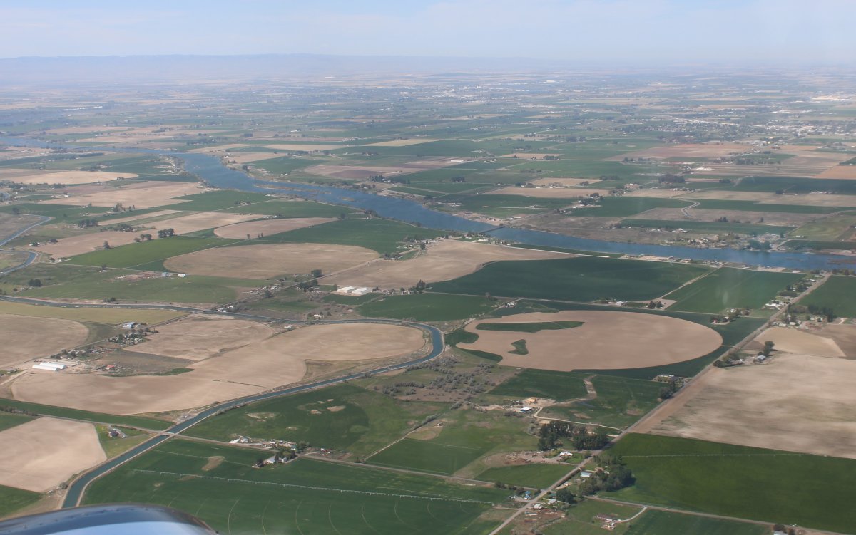
| The Snake River continues off to the west, generally. |
| |
 |
|
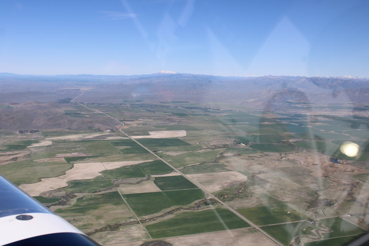
| Potato fields? |
| |
 |
|
|
Craters of the Moon terrain to the northeast.
|
| |
 |
|
| |
| |
 |
|
|
Even though I'm not over the Craters of the Moon National Park, the terrain still looks pretty moonlike below.
|
| |
 |
|
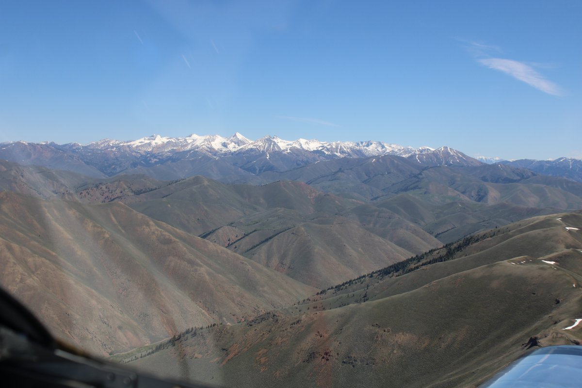
| Approaching the mountains at an angle. |
| |
 |
|
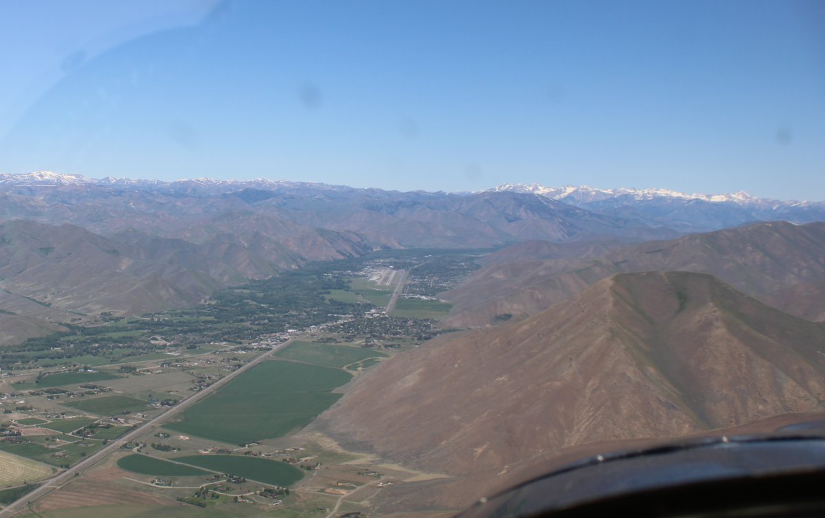
| Sun Valley Airport is visible left of center with some tall mountains beyond. |
| |
 |
|
|
Looking west at Highway 20.
|
| |
 |
|
| Approaching Sun Valley Airport (KSUN). Actually, it is named Freidman Memorial Airport and is a towered-airport. The rich and famous fly into this airport to visit the resort town of Sun Valley surrounded by beautiful scenery and skiing. |
| |
 |
|
| Looking off my right wing at some 11 and 12,000 foot mountains. |
| |
 |
|
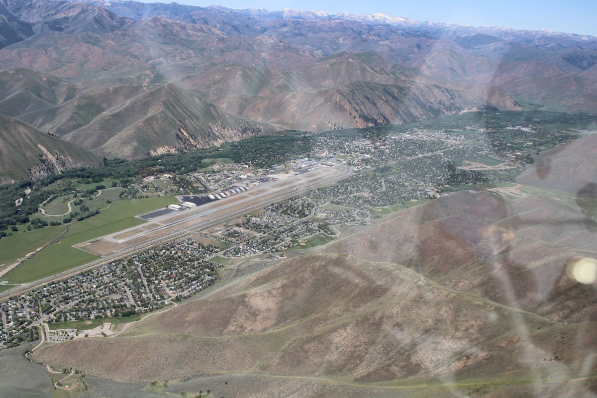
| Looking down at the town of Hailey and Freidman Memorial Airport. |
| |
 |
|
|
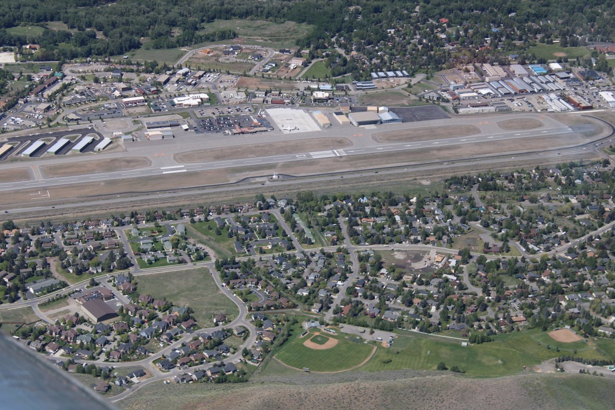
Close-up. I was well above the Class D airspace so I would't bother the tower.
|
| |
 |
|
|
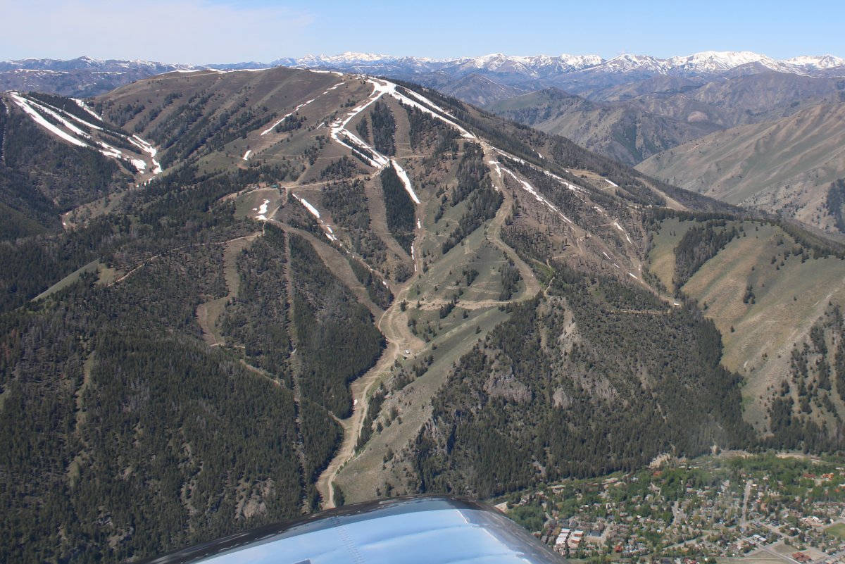
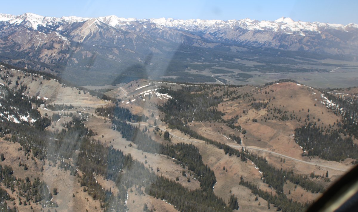
Checking out the ski trails on Bald Mountain. The town of Sun Valley is at the base of Bald Mountain but for some reason I didn't get a picture of it.
|
| |
 |
|
|
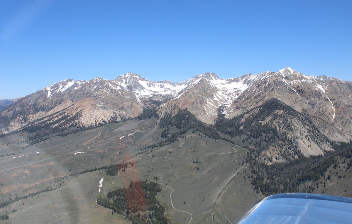
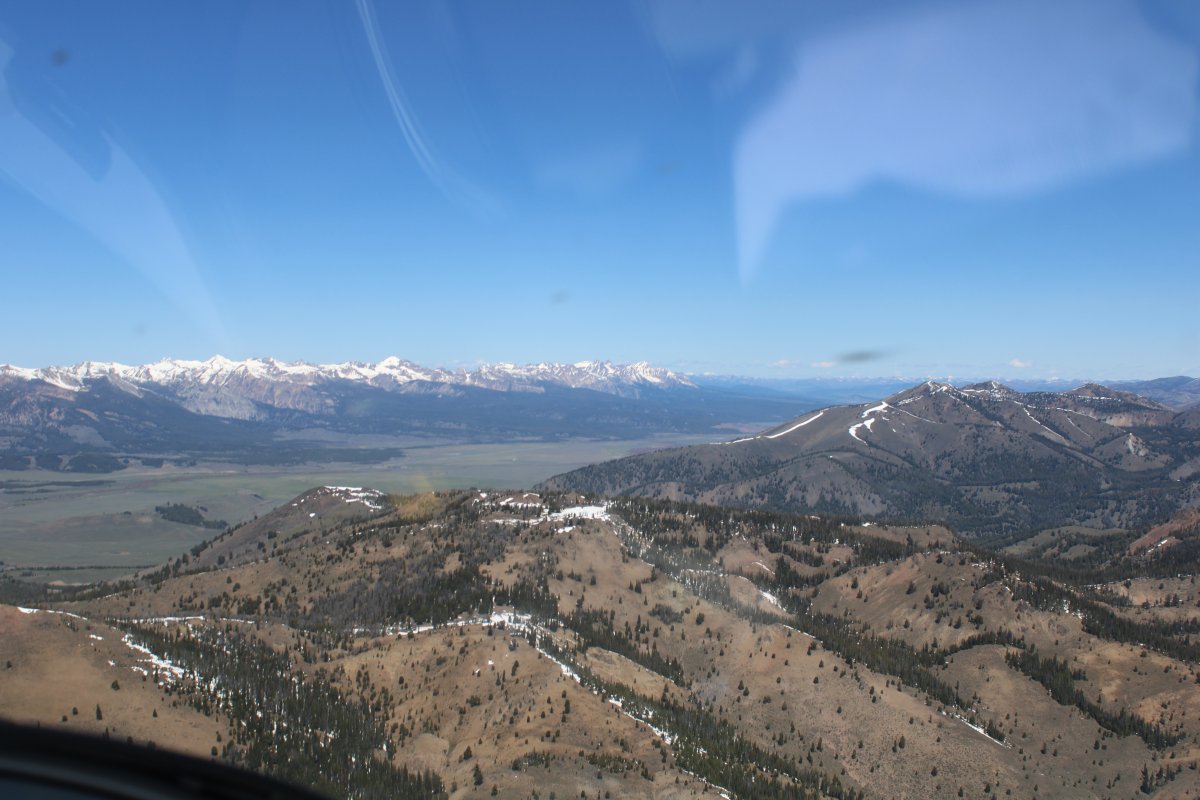
Leaving Sun Valley, I followed State Highway 75 over the Galena Summit.
Looking north at three 11,000+ peaks.
|
| |
 |
|
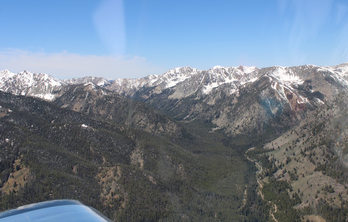
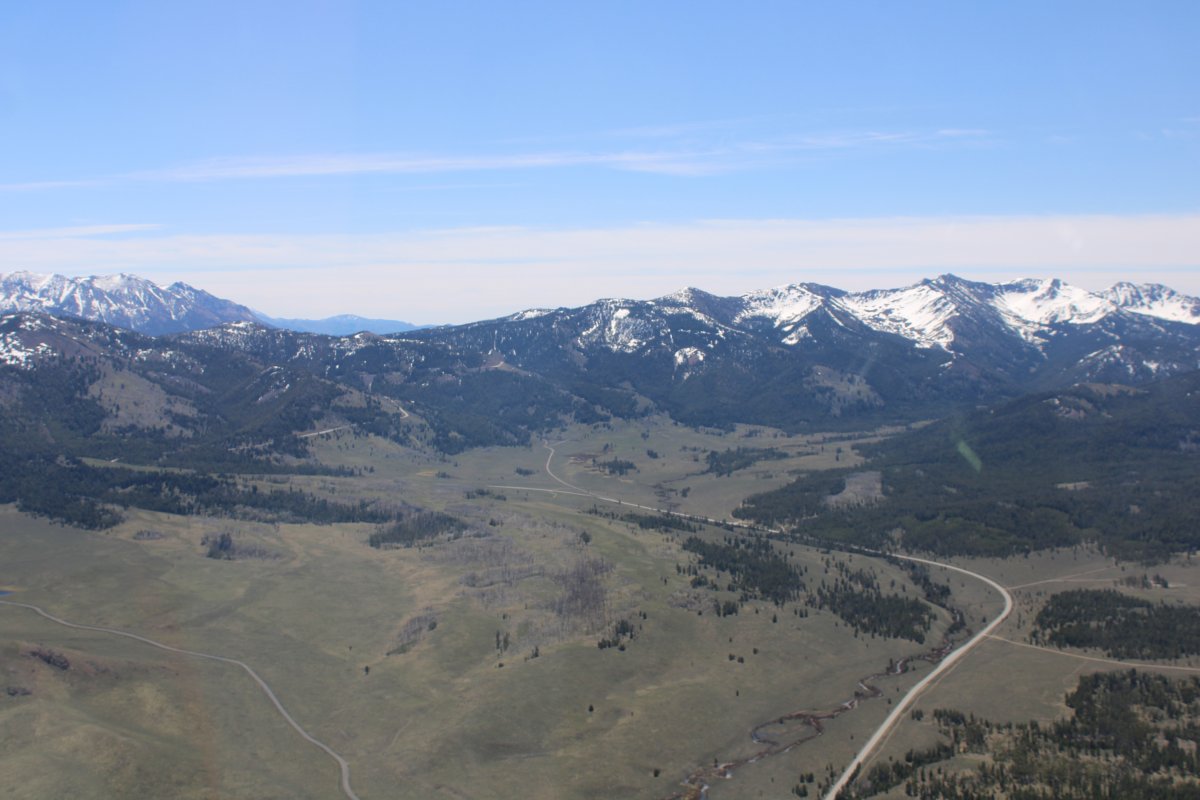
| Looking south at some 10,000+ peaks. |
| |
 |
|
| What a view! |
| |
 |
|
|
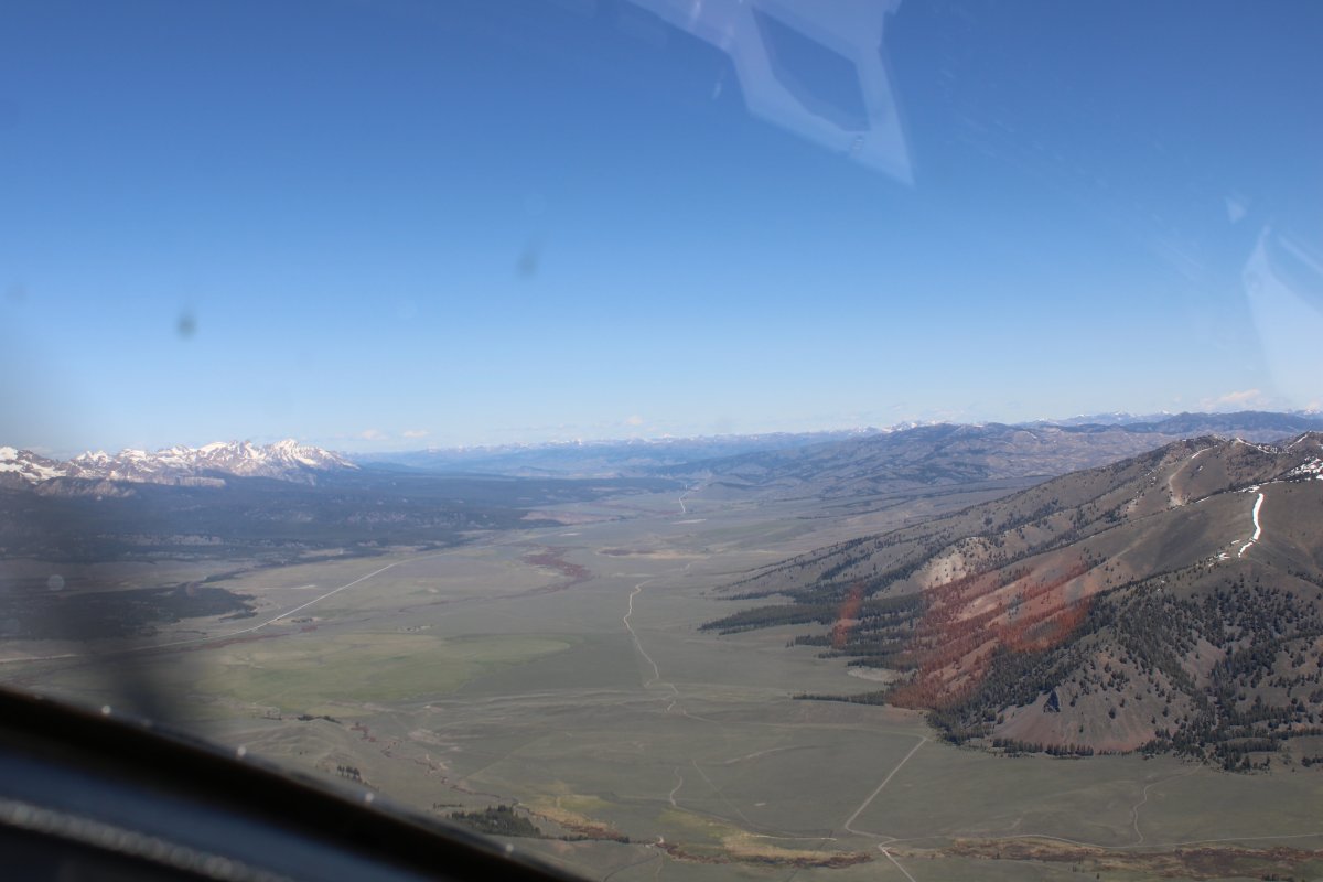
State Highway 75 crosses over the Galena Summit. I remember driving through this with Pete back in 2006.
|
| |
 |
|
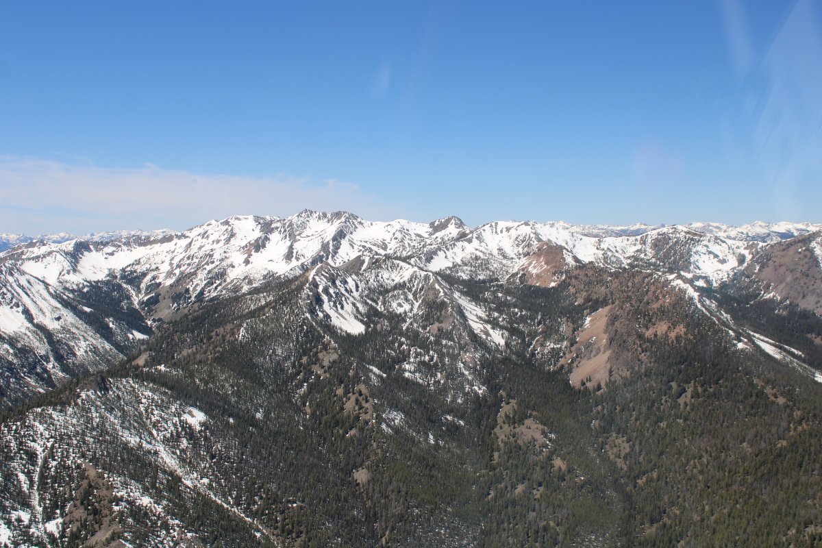
| Almost to the big valley beyond. The famous Sawtooth Mountains are in the distance. |
| |
 |
|
| I was at 10,500 feet just to cross the Galena Summit. |
| |
 |
|
|
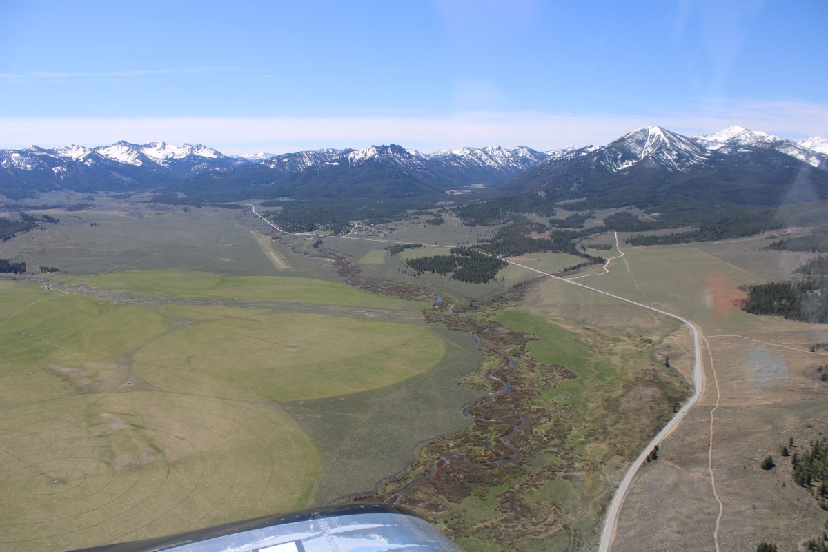
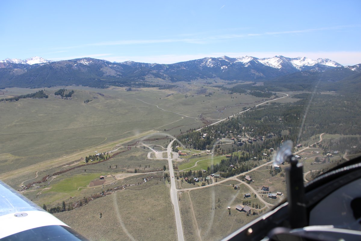
I made it. Smiley Creek Airport is beneath my nose to the left.
|
| |
 |
|
| Looking back at the Galena Summit. |
| |
 |
|
|
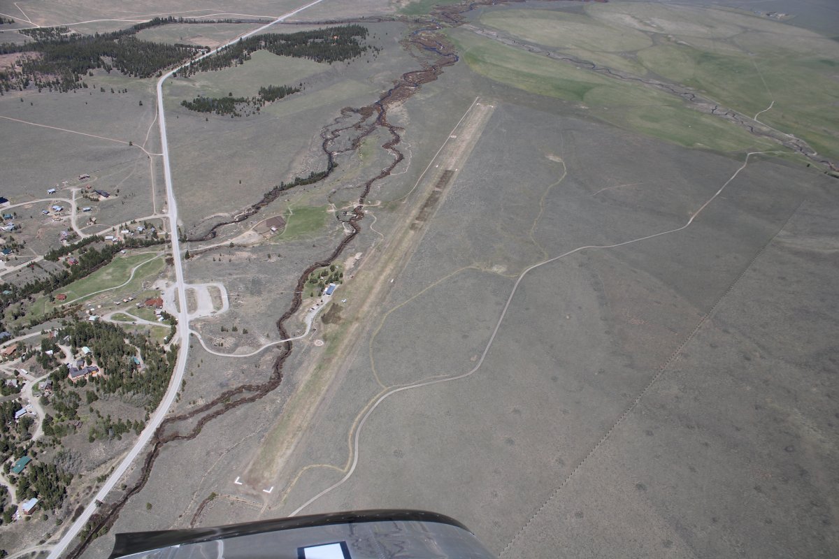
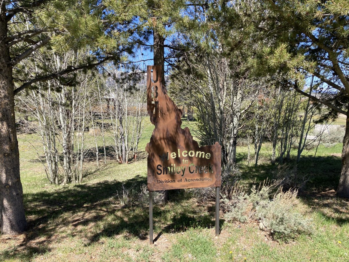
Looking down at Smiley Creek Airport, elevation 7,206 feet, probably the easiest of Idaho's mountain strips. A good place to start. I had time so decided to land and check it out.
|
| |
 |
|
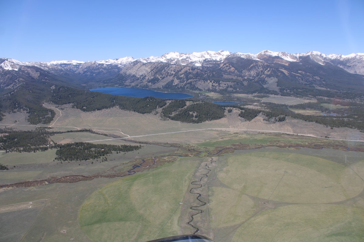
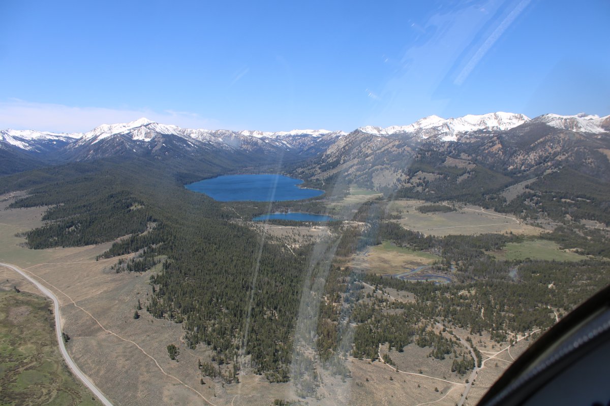
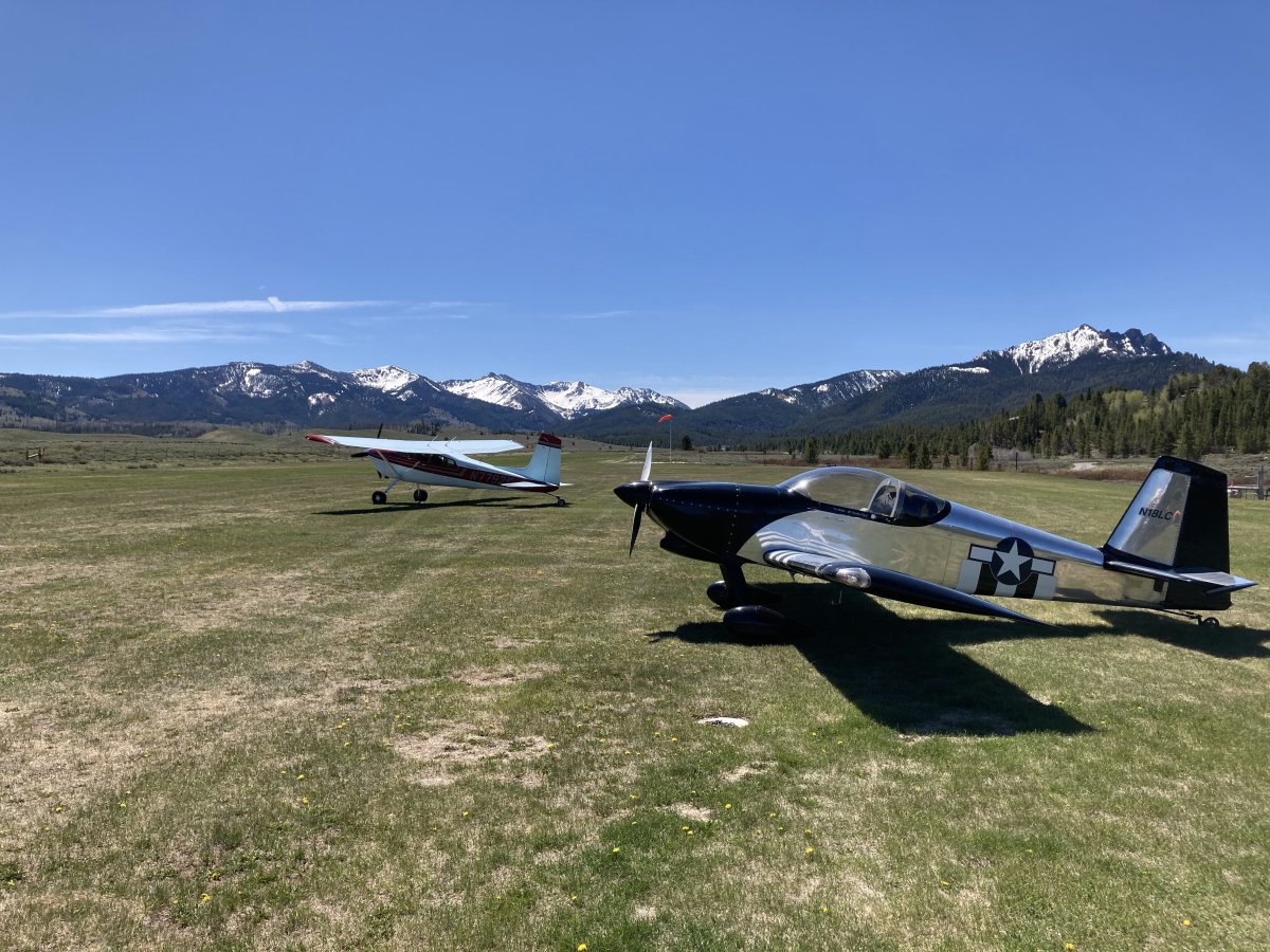
| Deep blue Alturus Lake to the west with the Sawtooth Range behind it. |
| |
 |
|
| |
| |
 |
|
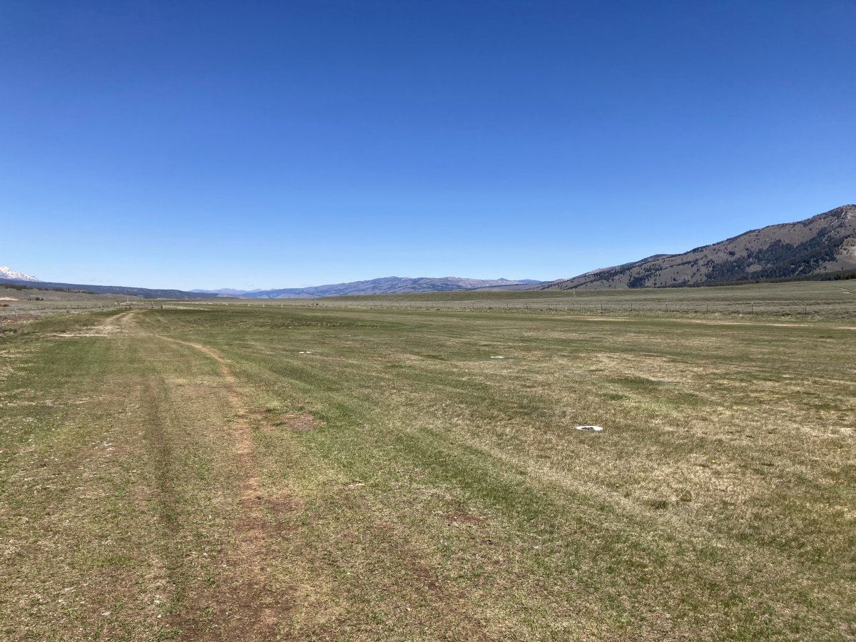
| Smiley Creek has a 4,900 foot grass runway. |
| |
 |
|
|
On a left downwind for runway 32 at Smiley Creek.
|
| |
 |
|
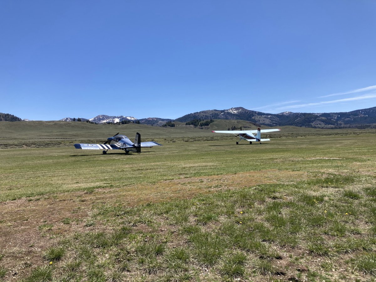
| Safe on deck at Smiley Creek! |
| |
 |
|
| Beautiful country. |
| |
 |
|
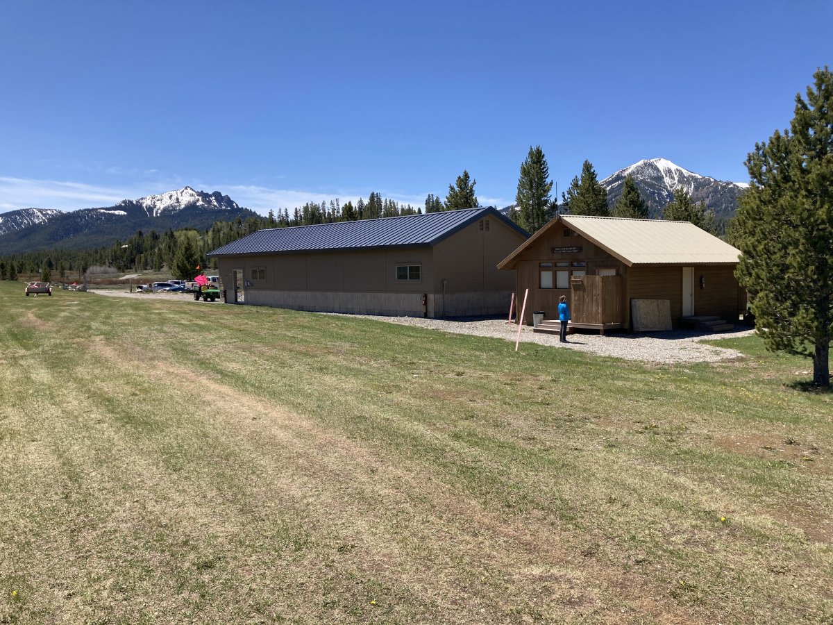
| A nice bathroom and shower facility on the right. The big building on the left housed a pilot's pavilion and then a big equipment storage area. I talked with the Caretaker couple that tends the airport when its open during the good weather. They have an RV parked on the other side of the building they live in. They live in Mobile, Alabama during the winter and up here in the summer. The airport is closed during the winter (unless your plane has skiis maybe). The Caretaker said it actually snowed here the previous week, but it burned off quickly. |
| |
 |
|
|
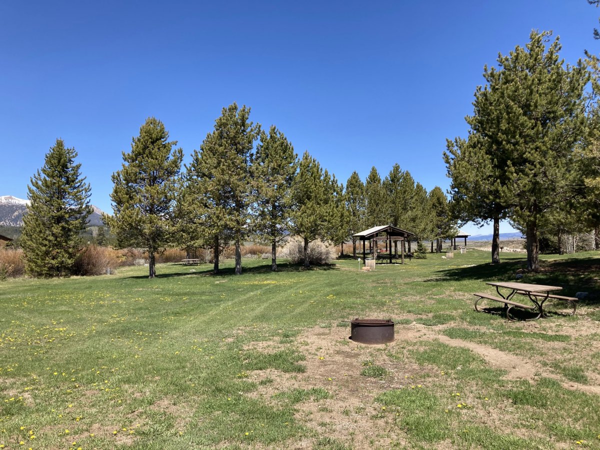
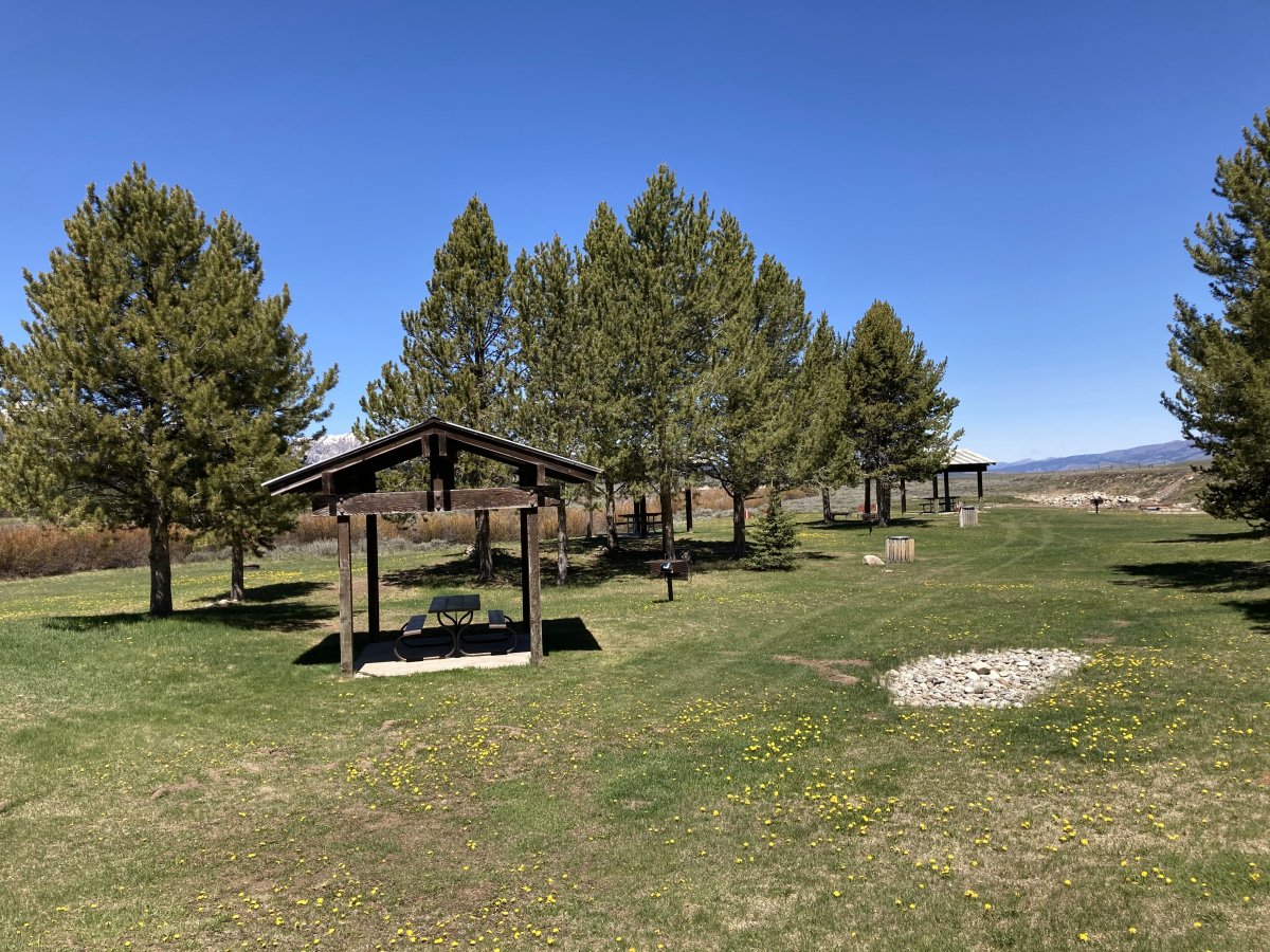
Smiley Creek has a nice camping area with firepits, picnic tables and pavilions.
|
| |
 |
|
| |
| |
 |
|
|
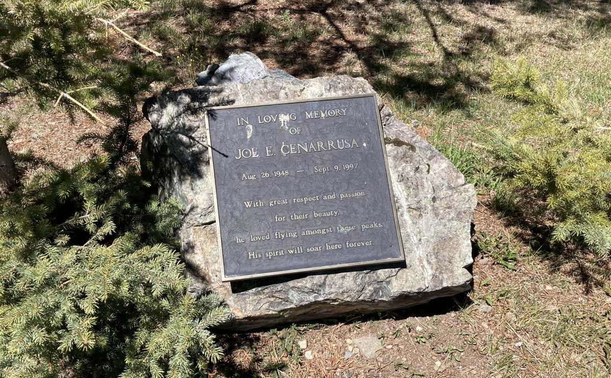
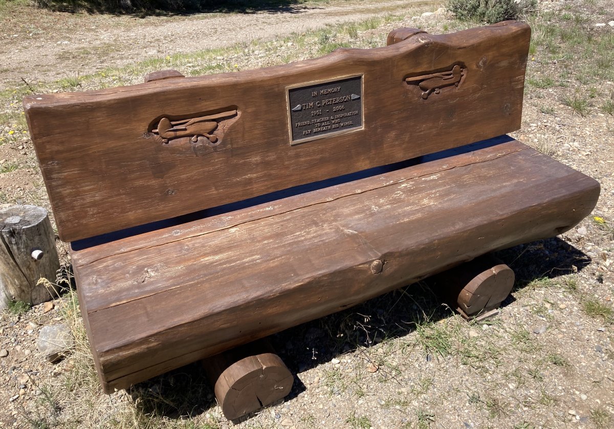
A nice memorial.
|
| |
 |
|
| |
| |
 |
|
| |
| |
 |
|
|
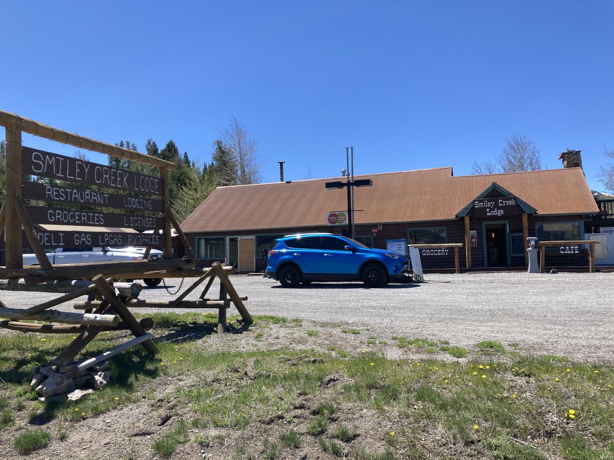
Even though the airport is named Smiley Creek, I crossed a little creek to get to the Lodge/Restaurant and found out it is not Smiley Creek but the Salmon River!
Anyways, the Lodge is a nice facility that you can buy groceries at, eat at the restaurant, or stay overnight. I'm sure a lot of pilots fly in just to have breakfast or lunch here.
|
| |
 |
|
|
Looking down the long, wide runway 32.
|
| |
 |
|
| |
| |
|
|
|
|
|
|